Be In the Know Kick Off
The Be In The Know series kicked off its inaugural event in Blanding on Friday March 6th. Area land management officials and a representative of UDOT were the panelists for the forum. Be In The Know is designed to put good information in the hands of those interfacing with visitors to the county.
Tedd Neff Moab-Monticello Deputy District Ranger with USFS Manti- La Sal National Forest was the first panelist to speak. Neff went though some upcoming plans for the Forestry service in the area as a projection screen behind him displayed the website users can go to for updates on everything from road and campground closures to information on where a prescribed burn may be planned. If you see smoke and wonder where it might be coming from, Neff’s office has probably put it on their website. There is a wealth of information on the site not just on fires but road closures and maintenance to assets and you can reach it at fs.usda.gov/mantilasal.
Monument Manager of Bears Ears National Monument Jake Palma, with the Bureau of Land Management Monticello Field Office, described the complexities of coordinating a plan for the Monument. Palma described his main job as ensuring the new Monument is experienced in a respectful way. So many different groups have a stake in the Monument that Palma’s job appears to be anything but easy. However visiting this amazing attraction is. Palma clarified fees while visiting areas within and surrounding the Monument. With the exception of Moon House Ruin, day use permits must be obtained upon arrival at self-pay fee tubes (cash or check) at trailheads and other kiosk locations on the mesa top; no reservations are required. The maximum group size is 12 people. The cost is $5 per person per day and $10 per person per week. There is an annual pass available for $40 per vehicle which can be purchased at the Monticello BLM Field Office or Kane Gulch Ranger Station. Currently there is no Senior Citizens rate, also please note that this pass is seperate from the America the Beautiful, National Parks and Federal Lands Pass. Please visit the Day Use Permits page for more detailed permit information: https://www.blm.gov/sites/blm.gov/files/documents/files/Cedar Mesa Day Use Permits.pdf
Palma also announced that the BLM will be staffing Visitor Contract Representatives to interface directly with visitors. These representatives will be based at the Monticello BLM Field Office, Kane Gulch Ranger Station, Edge of the Cedars State Park, and Sand Island.
For digital permits to stay overnight go to www.recreation.gov and type “Cedar Mesa Permits” and you should be able to navigate through the permit process.
Activities at Edge of the Cedars and Goosenecks State Parks were covered by Chris Hanson manager of both state parks. Edge of the Cedars (EOC) is one of the only State Parks with a monumental utility bill. The need for climate control for the museum and visible storage facility housing Ancestral Puebloan artifacts takes a large chunk of his budget. The EOC line up is still full with events including Archaeology Day on the first Saturday of May. This year it falls on May 2nd and demonstrations will include flint knapping, the use of the atl atl, and other hands on skills the ancient residents of the area practiced on a daily basis. Hanson announced a new position over Education and Outreach that will include efforts in local classrooms and with the designation for Goosenecks State Park to be an International Dark Sky Park. Looking ahead to June keep an eye out for a lecture on Montezuma Canyon. As for the Goosenecks, Hanson has been active in working with the BLM in upgrading the area to handle the increased visitation a robust tourism trade generates. A new bathroom facility has been added and discussions are underway to add 8 new campsites in an effort to eliminate and discourage dispersed camping in the area. A designated mountain bike trail is also in the works once the project is fully greenlighted.
For updates and events at Edge of the Cedars State Park be sure to follow them on Facebook: https://www.facebook.com/Edge-of-the-Cedars-State-Park-Museum-145972415432325/
The National Parks Service was represented by Kayci Cook Collins, Acting Superintendent of the Southeast Utah Group; Keri Nelson, Outdoor Rec Planner and Lead for Reservations Office for Arches and Canyonlands; and Sierra Coon Chief of Interpretation for Natural Bridges and Hovenweep National Monument. Updates were made by Nelson and Coon on Canyonlands, Natural Bridges, and Hovenweep regarding visitor center hours, campsites, and projects. One major change for visitors going to Hovenweep National Monument. The Monument will no longer be free, and will have an anticipated entrance fee similar to Natural Bridges National Monument of $20/vehicle. The park is trying to implement a fee in the next couple of months but is working out the details of collecting that from visitors. Night sky programs have been very popular at both locations, and as a result there are future plans to build an observatory at Natural Bridges funded by fee money and partner donations. As we head towards warmer weather those events may be something you want to check on at their website For updates on the fees at Hovenweep and Night Sky program information go to NPS.gov/hove.
For information on Canyonlands Road Conditions visit: https://www.nps.gov/cany/planyourvisit/road-conditions.htm
Greg Owens of the Glen Canyon National Recreation Area (GCNRA) went over some of the improvements and visitor amenities that have been added to the area known as “uplake”, areas of Lake Powell including Halls Crossing and north. Halls Crossing in particular is the focus of many of the improvements. The GCNRA is encouraging development of the shoreline in that area to accommodate visitors coming by land as well as boat. RV capacity at the remote area is being expanded to 20 sites with full hookups. Already there is a convenience store and small grocery but Owen reports a restaurant is soon to open as well. Guided fishing and hiking tours are to follow shortly uplake.
Utah Division of Wildlife Resources officer Calvin Black covered some topics of interest to the hunters and fishermen and those that serve them in the area. The popularity of elk hunting saw the state supply of rifle elk permits sell out in less than a month and a half of opening up. Those not after a trophy might keep heads up for the antlerless season. On May 28th a thirty day period begins to file for a doe deer or cow elk permit. Fishermen should be encouraged by the spring stocking of rainbows in the local reservoirs from March to April. Most of the more popular lakes will get another stocking in September. Near Blanding at Recapture Reservoir DWR plans on submerging some sort of structure as fish habitat to draw trout closer to the surface during warmer months giving anglers a better chance at catching them. Loyd’s Lake in Monticello will also get such a structure.
Jared Beard, Utah Department of Transportation (UDOT) District Engineer did a quick demonstration of all the information available on the UDOT website. With a little attention to detail website visitors can look at actual road conditions nearly anywhere in the state. Beard went over some of the bigger projects to be aware of throughout San Juan County reporting on repairs to one of UDOT’s most unusual assets, the Charles Hall Ferry. The ferry takes foot, bicycle and motor vehicle traffic back and forth between Bull Frog Marina and Hall’s Crossing. The ferry will be out of service from March 16th to May 16 2020. Once back in service, the spring schedule for the ferry will be Thursday, Friday and Saturday only. Travelers from our region to Monument Valley need to be aware that the bridge in Mexican Hat is going to be completely replaced and work could be started as early as May. As a result there will be some work that will close the bridge for up to 24 hours at a time. This is a major detour for those who might make the trek into Mexican Hat hoping to pop on down to Monument Valley. For businesses that might be giving guests directions the UDOT website is probably a good thing to check on a daily basis until that work is completed. Find out more at UDOT.Utah.gov or get to the phone information line on the ferry at (435) 893-4747
Charles Hall Ferry information: https://www.udot.utah.gov/main/f?p=100:pg:0:::1:T,V:2257,
San Juan County Public Health Director Kirk Benge closed out the panelists with an update on the Coronavirus. When quizzed by the audience during his Q and A session he stated that San Juan County does have test kits for the virus and there is a 2 day turn around on results from the test. . The advice he gives is the same as you are getting on a national level. Close proximity to someone with the virus and surfaces that may be infected should be avoided. Hand washing with soap and water and common sense and courtesy will go a long way to stemming the spread of any virus. This one is no different. If you do have the Covid 19 or Corona Virus a 2 week self isolation period is recommended.
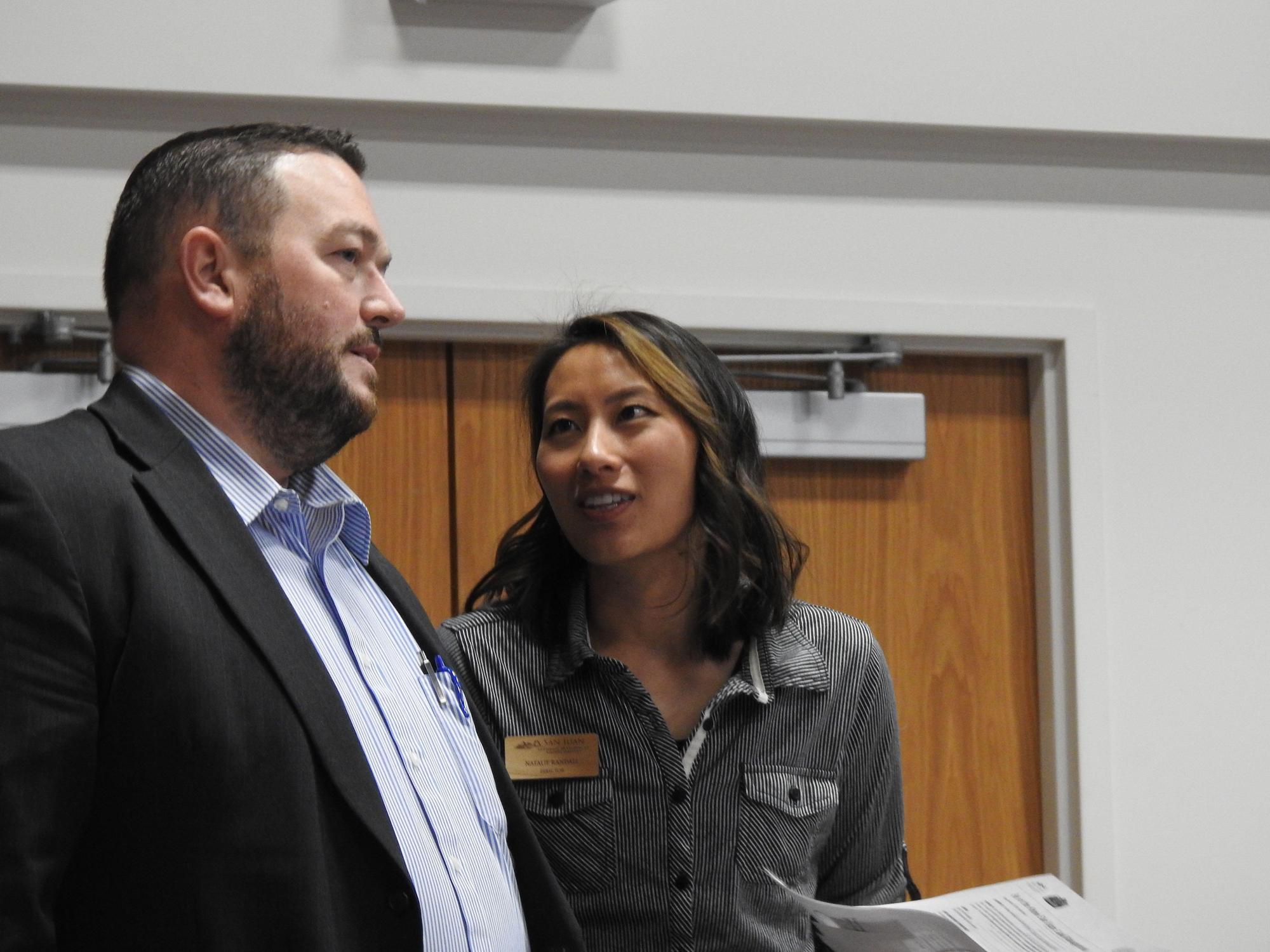
Finally the San Juan County Economic Development and Visitors Services office had the floor. Natalie Randall, Director of the EDVS displayed the new pocket community guides for Monticello, Blanding and Bluff. Visitors to our area can now get a taste of what the locals like about their communities along with listings for lodging, dining, shopping and activities in the various communities. Accompanying the pocket guides are rip maps for the three communities who participated in the program. Interested businesses will get a pad of the maps to distribute to guests giving them an oriented look for maybe a walking tour of the town they are visiting or planning to visit. Hard copies of the Community Guide and Rip maps will be available to businesses from the following resources: Monticello Businesses: Aspen Draper, [email protected], Blanding Businesses: Pratt Redd, [email protected]; Bluff Businesses: Diana Davidson. Please note that the initial print for these guides was limited so there will be limited hard copies available. All San Juan County Guides, including the community guides and rip maps, are available in digital form for businesses to email to prospective customers and reference https://www.utahscanyoncountry.com/free-brochures
San Juan EDVS in collaboration with the Moab Area Travel Council will be releasing an in depth Be in the Know report of all the discussed topics for the entire Southeast Region. Please watch for this report to be released in our Newsroom and Newsletter, and will be available for digital download.
Quick Acronym reference:
BLM: Bureau Land Management
USFS: United States Forest Service
NM: National Monument
EOC: Edge of the Cedars
GCNRA: Glen Canyon National Recreation Area
UDOT: Utah Department of Transportation
SJC EDVS: San Juan County Economic Development & Visitor Services