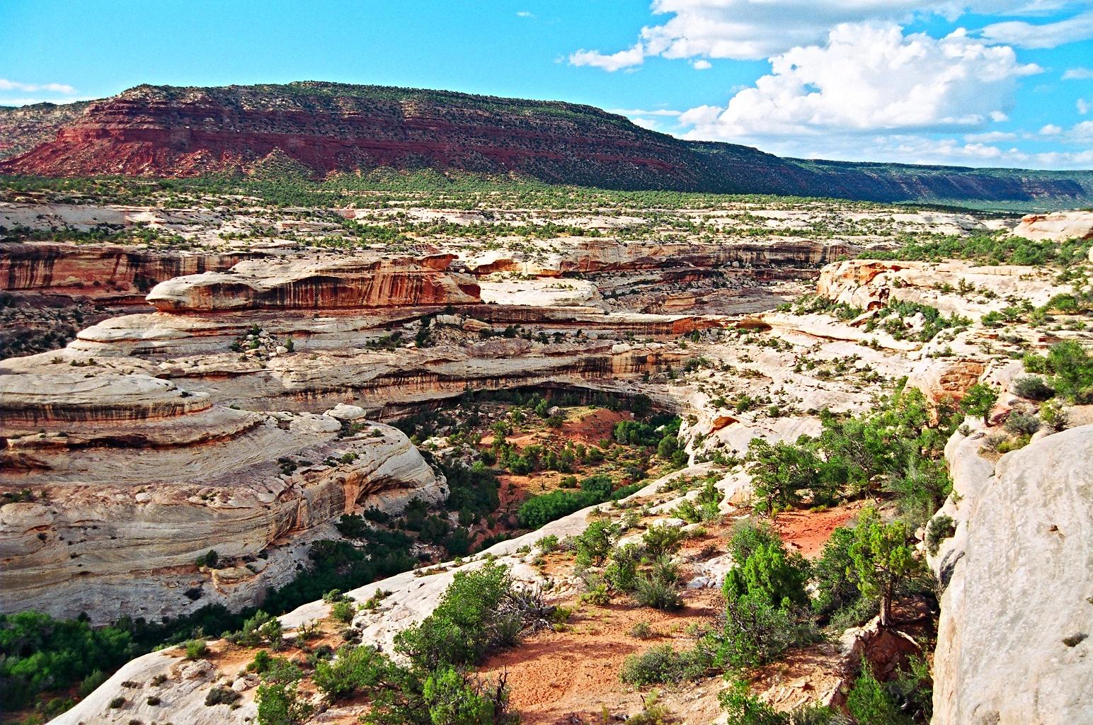
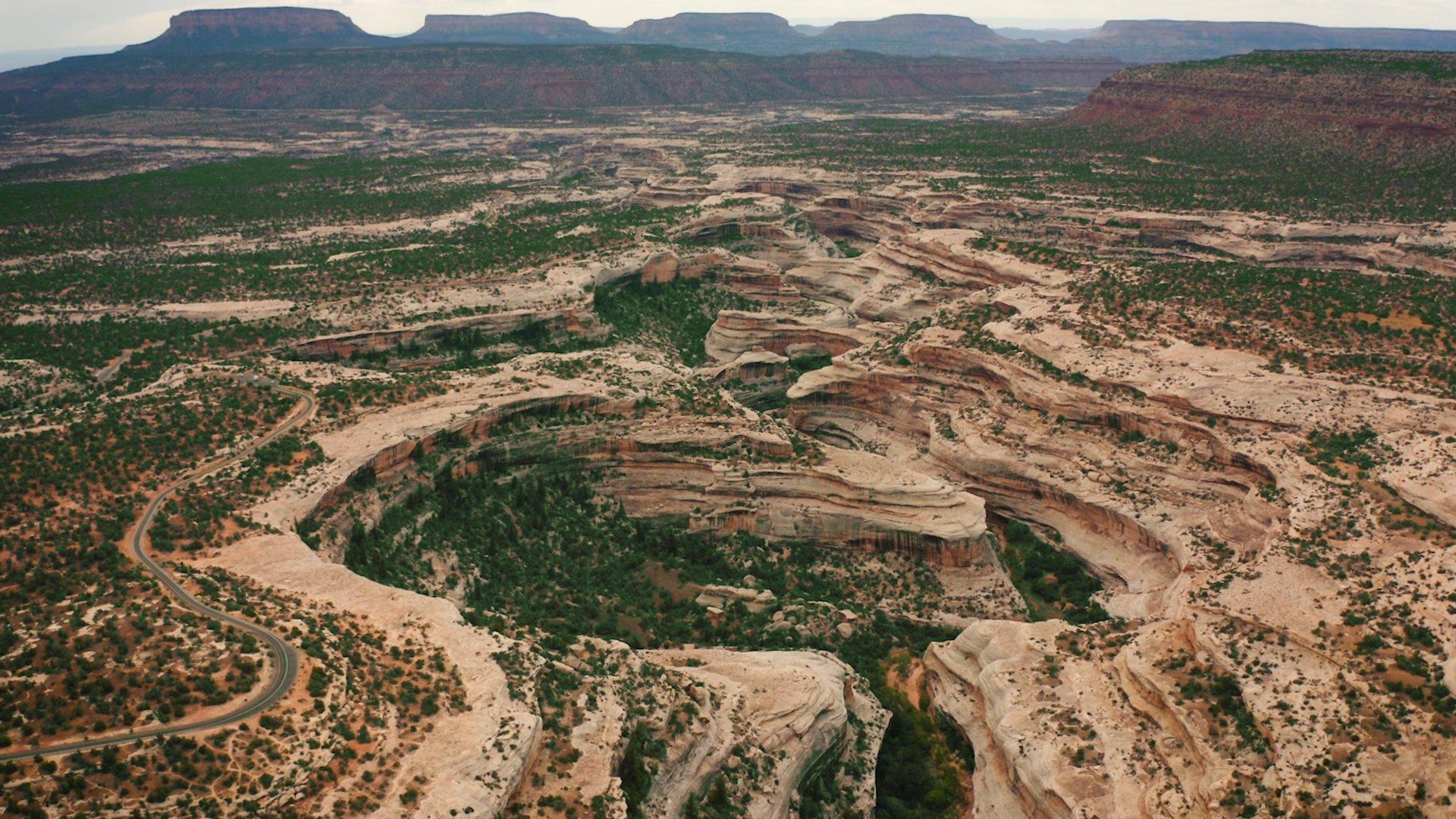
Natural Bridges National Monument is a well-kept small park featuring three large natural bridges attractively set at the bottom of two adjacent canyons located 39 miles west of Blanding or 47 miles north of Mexican Hat.
Nestled in southeastern Utah, this enchanting landscape invites you to explore its rich history, captivating ancient Puebloan history, and mesmerizing night skies.
Embark on an unforgettable adventure as you traverse scenic trails and immerse yourself in the awe-inspiring beauty of this geological wonderland!
The History of the Natural Bridges Region
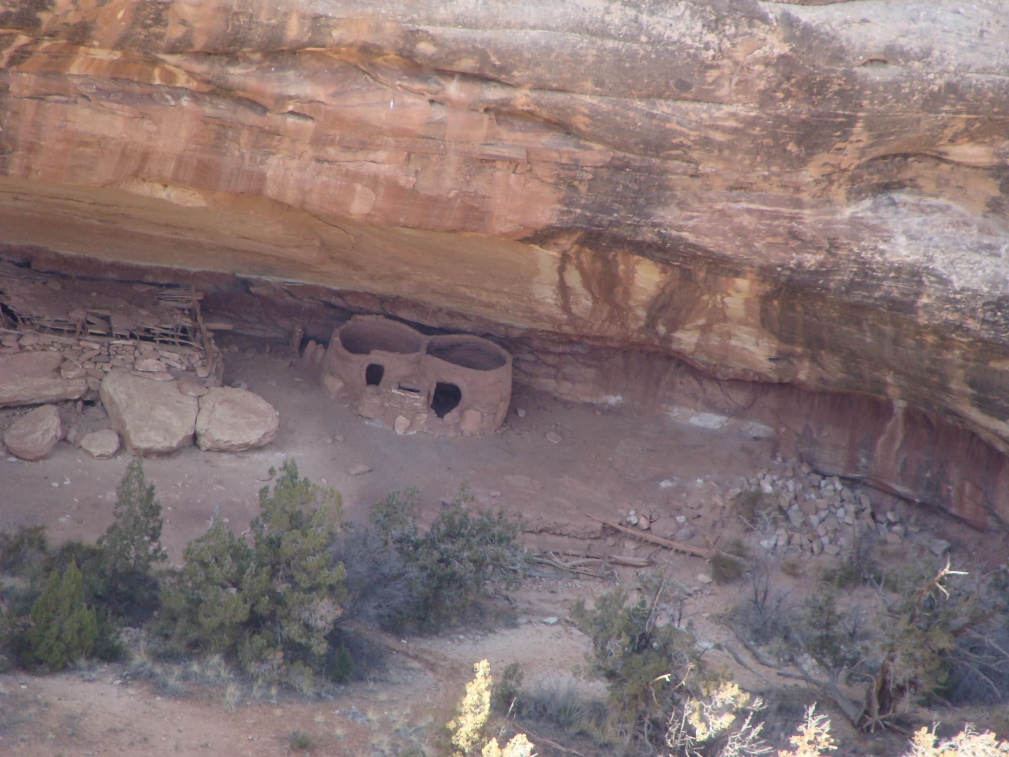
Visitors to Natural Bridges National Monument can find evidence of the Ancient Puebloan culture in the form of dwellings, petroglyphs, and other archaeological sites along the trails that lead to the natural bridges.
Evidence in the form of petroglyphs and stone tools suggests that humans have occupied this complex system of canyons from as early as 7500 BCE, living in pit houses on the mesa tops.
Around 700 CE, ancestral Puebloans moved into the area. These ancestors of the modern Puebloan people are well-known for their advanced building techniques and unique architecture.
These ancient people constructed cliff dwellings that can still be seen today. Like the inhabitants of Mesa Verde, the residents of Natural Bridges left the region around 1270.
These remnants offer a glimpse into the lives of the people who once called this region home and serve as a reminder of the rich cultural heritage of the American Southwest.
Europeans first visited the area in 1883 when gold prospector Cass Hite followed White Canyon upstream from the Colorado River and found the natural bridges near the junction of White Canyon and Armstrong Canyon.
Finally, In 1908 President Theodore Roosevelt designated the area Utah's first national monument and included the monument in the National Park Service.
Explore the Top Attractions: The three bridges
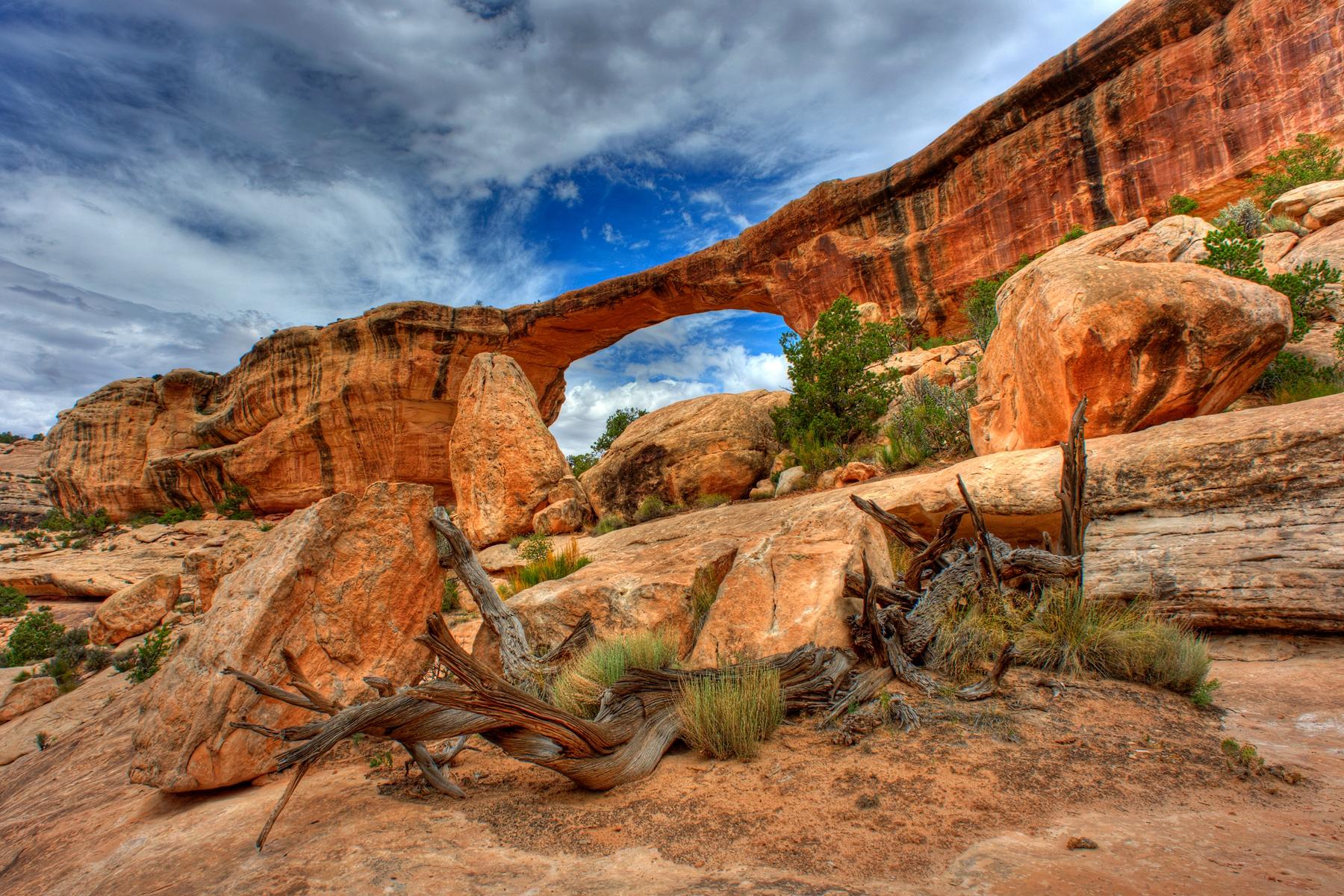
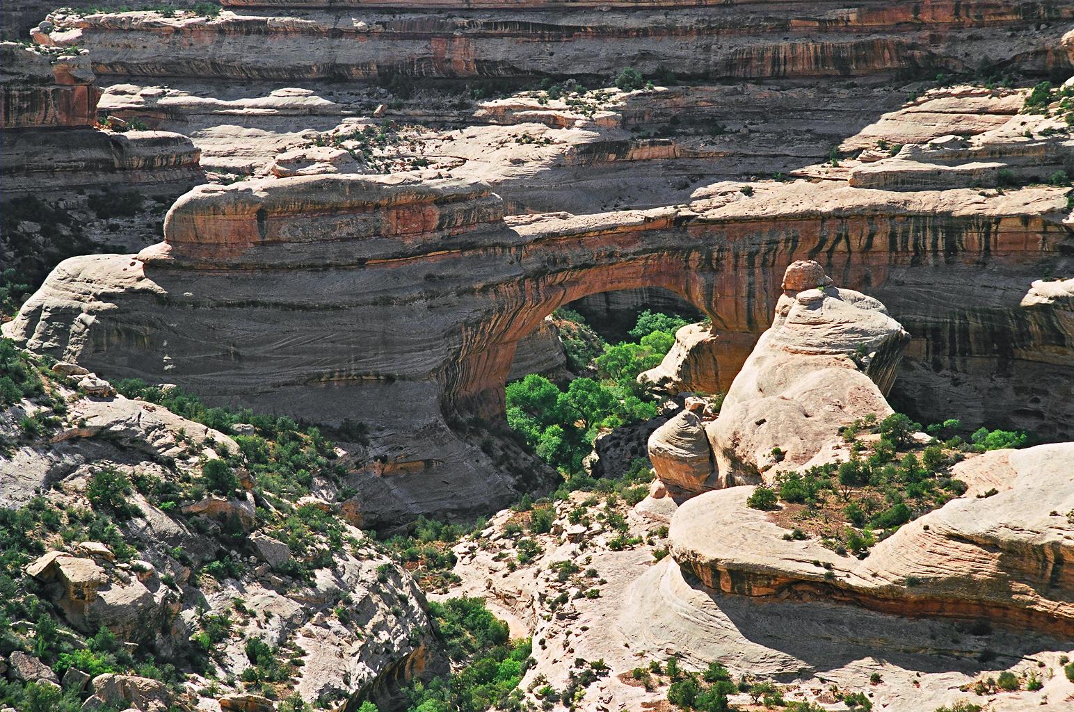
Natural Bridges National Monument in southeastern Utah is home to three remarkable natural bridges with Hopi names: Sipapu, Kachina, and Owachomo. These awe-inspiring geological formations have been shaped over thousands of years through the erosive action of water on Cedar Mesa Sandstone.
Natural bridges constantly undergo erosion and may eventually collapse. This ongoing erosion adds to the sense of wonder and appreciation for these remarkable geological formations.
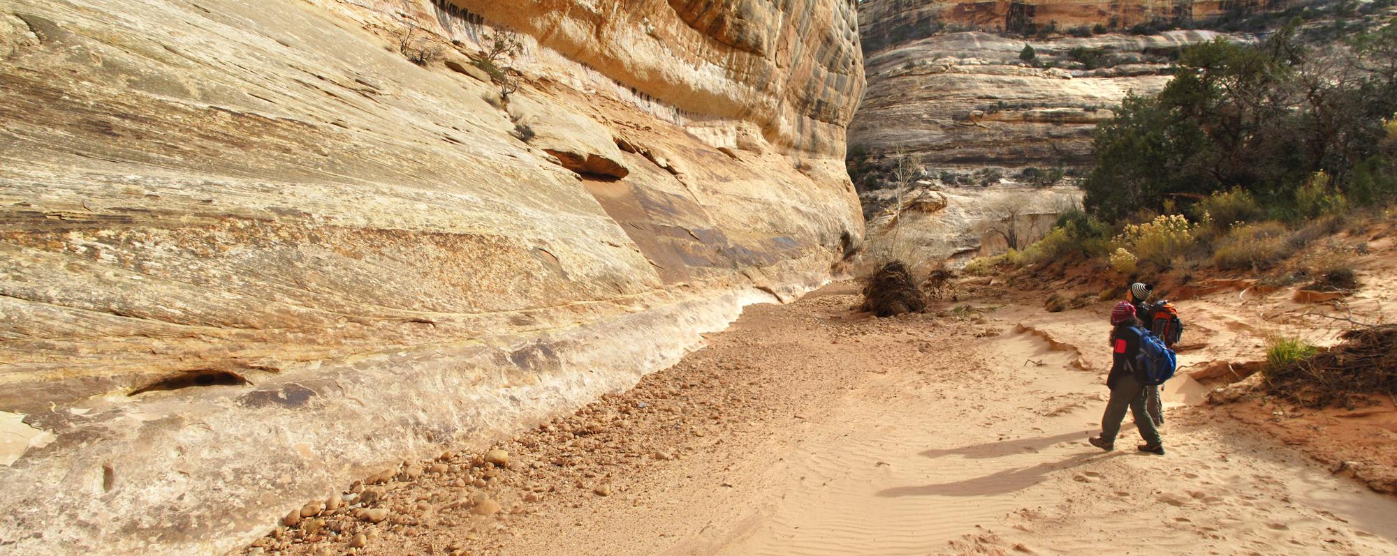
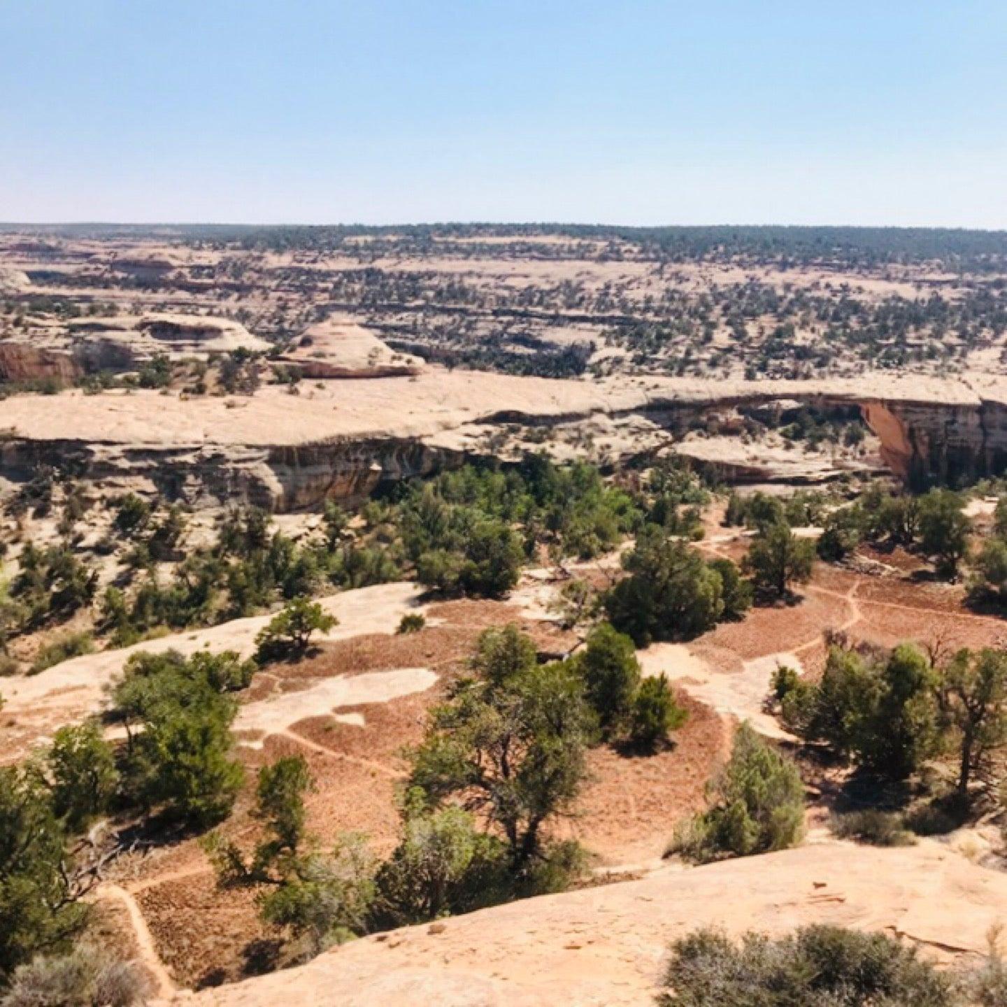
Each bridge offers a unique experience, with trails leading visitors through the picturesque canyon landscape, past ancient Puebloan dwellings and pictographs, and ultimately to the breathtaking natural wonders:
➡️Sipapu Bridge:
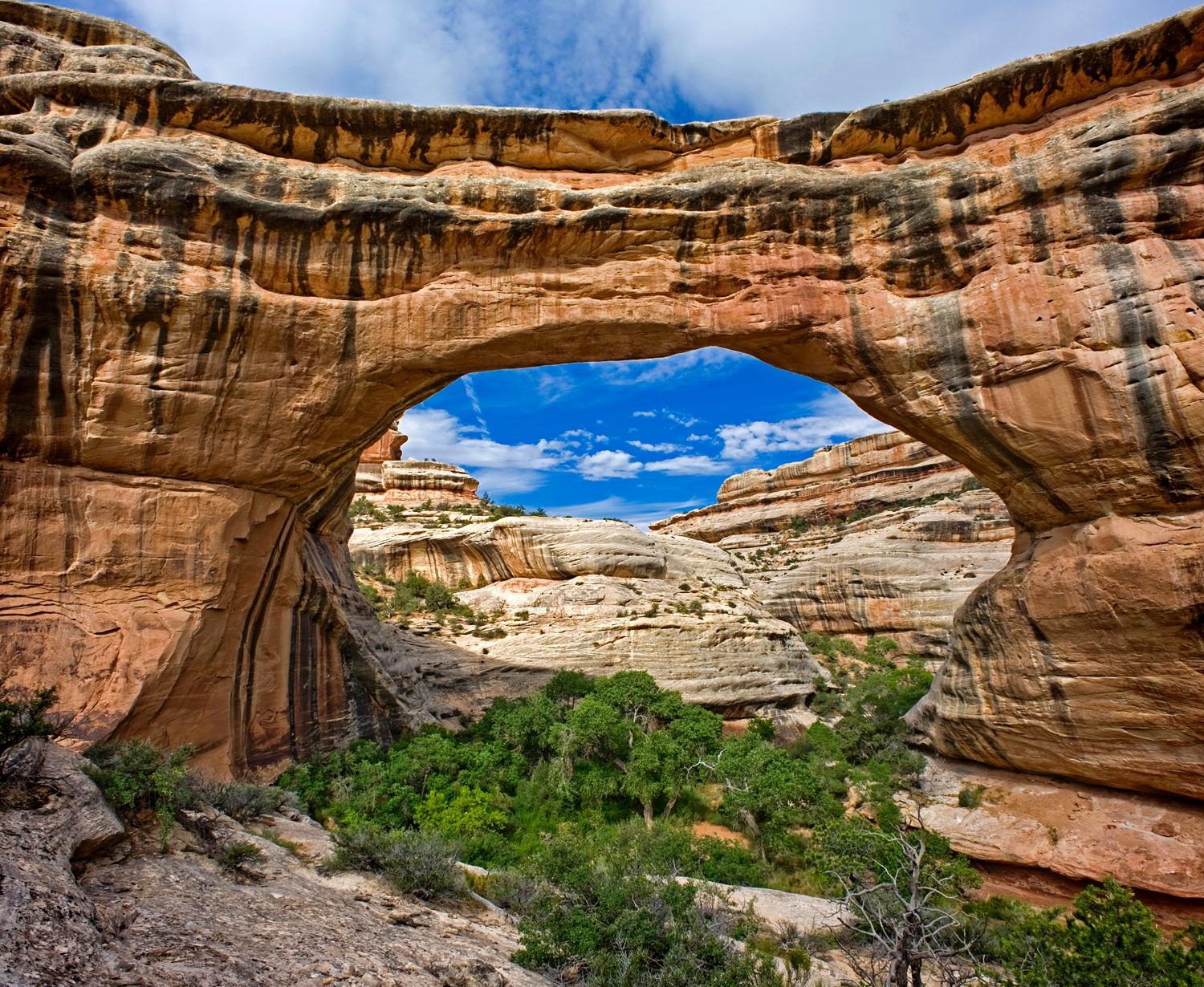
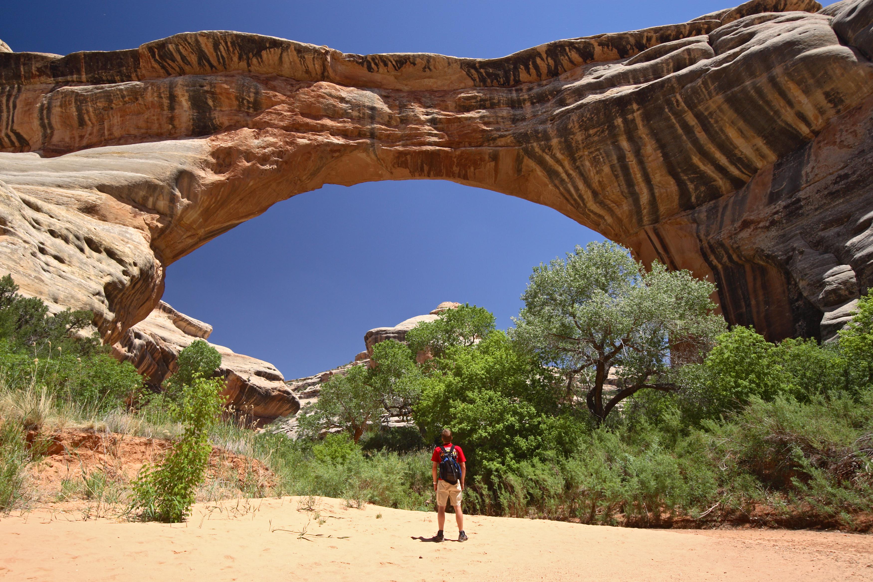
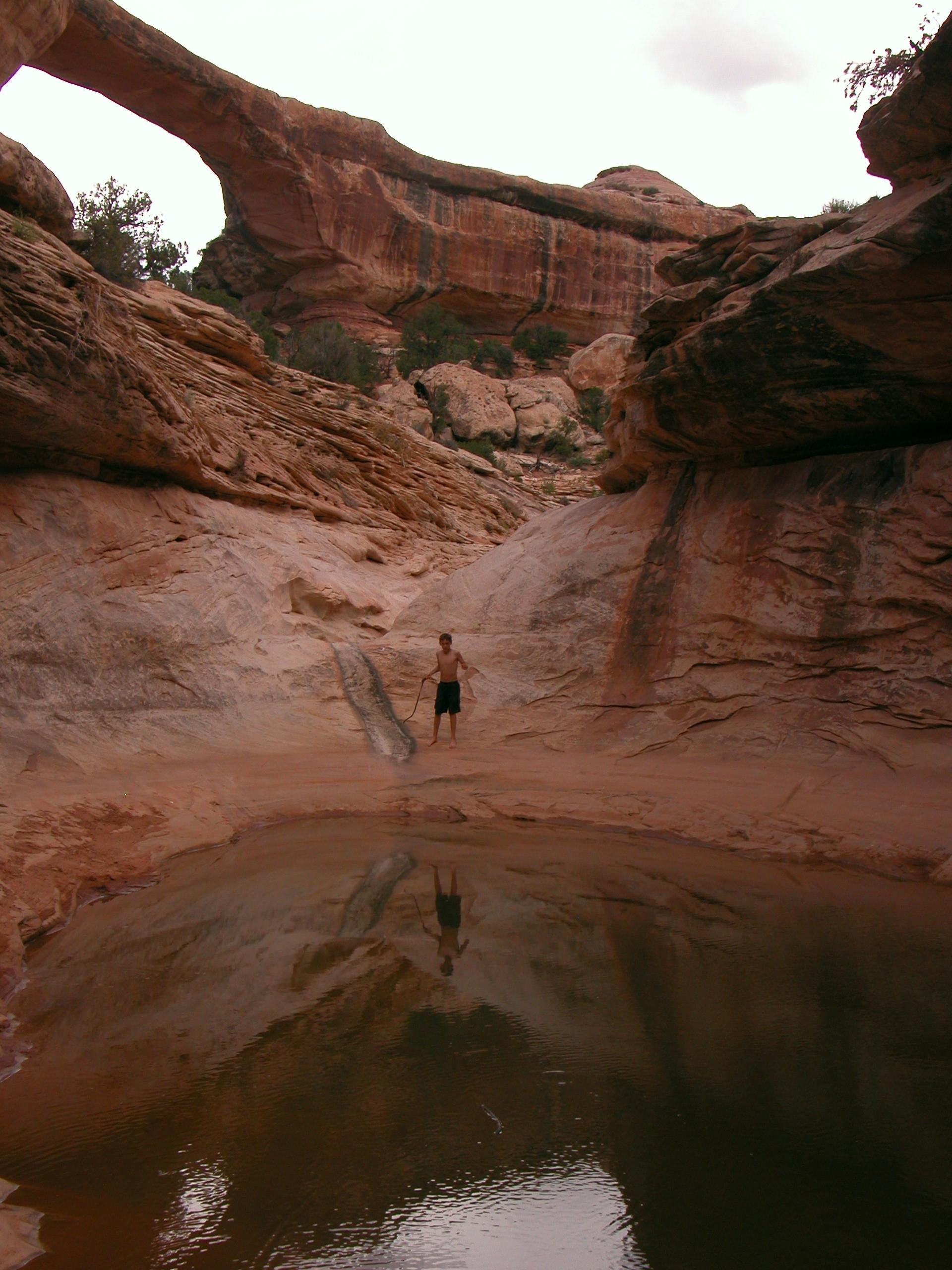
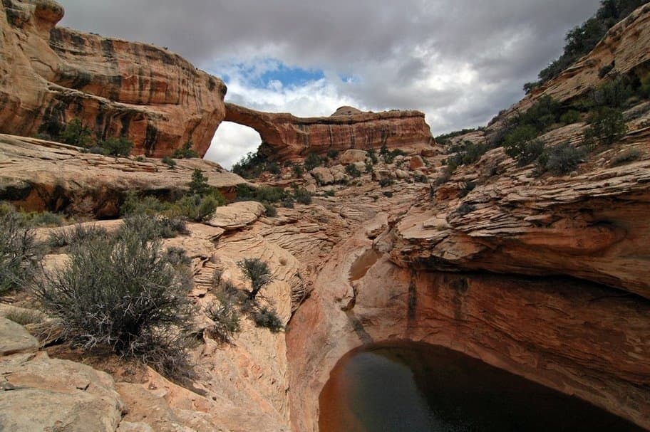
Sipapu, the largest natural bridge and the most visually striking of the three bridges boasts a span of 268 feet and a height of 220 feet. Its name comes from "sipapu," meaning a symbolic opening between the worlds.
Visitors can take the Sipapu Bridge Trail, a moderately strenuous hike of about 1.2 miles with an elevation change of roughly 500 feet to reach Sipapu Bridge. It requires descending into the canyon using metal stairs and switchbacks.
➡️Kachina Bridge:
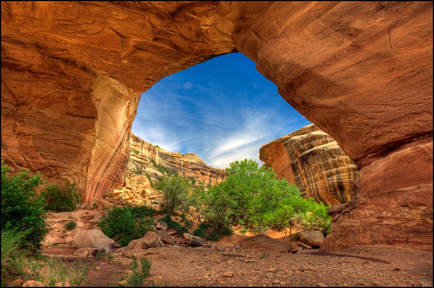
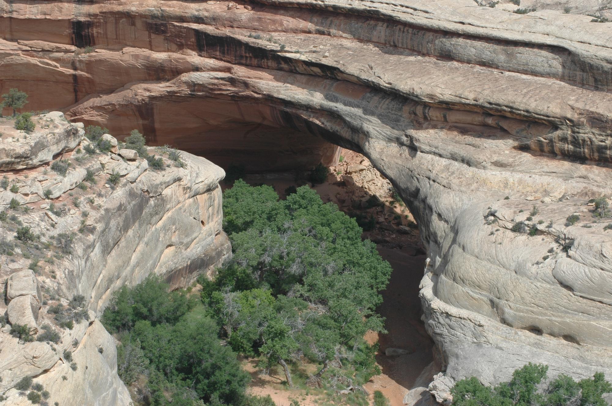
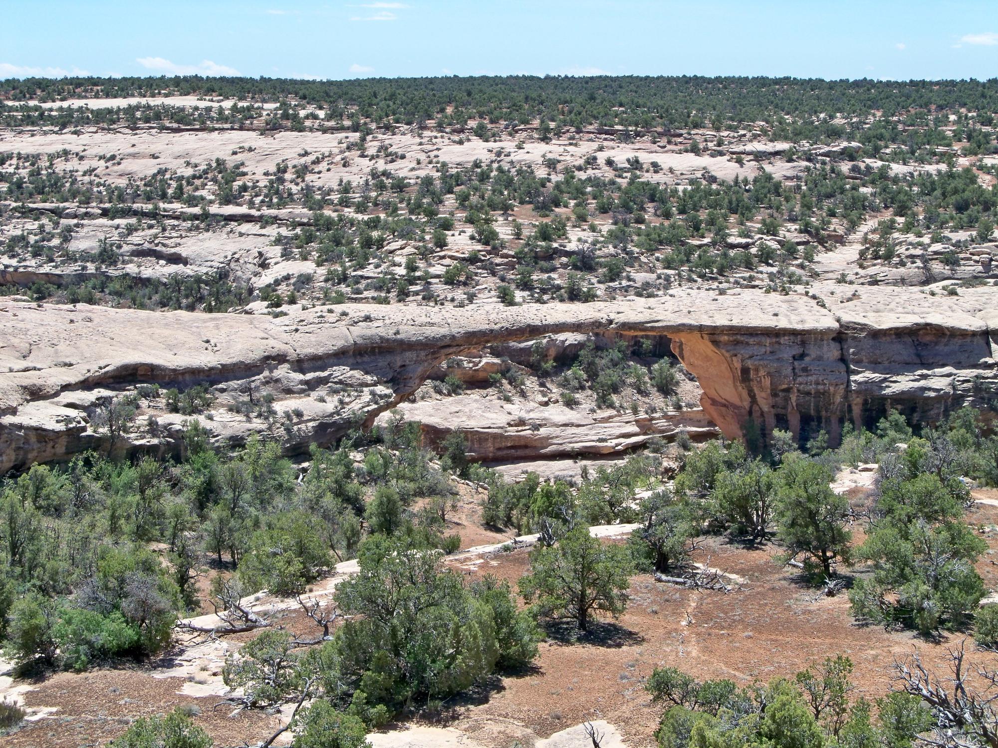
Massive Kachina, named after the Kachina figures in Hopi religious customs, is the youngest and second-largest natural bridge, spanning 204 feet and a height of 210 feet.
To access Kachina Bridge, visitors can take the Kachina Bridge Trail, which is approximately 1.4 miles round trip. The trail is moderately challenging, with an elevation change of about 400 feet.
➡️Owachomo Bridge:
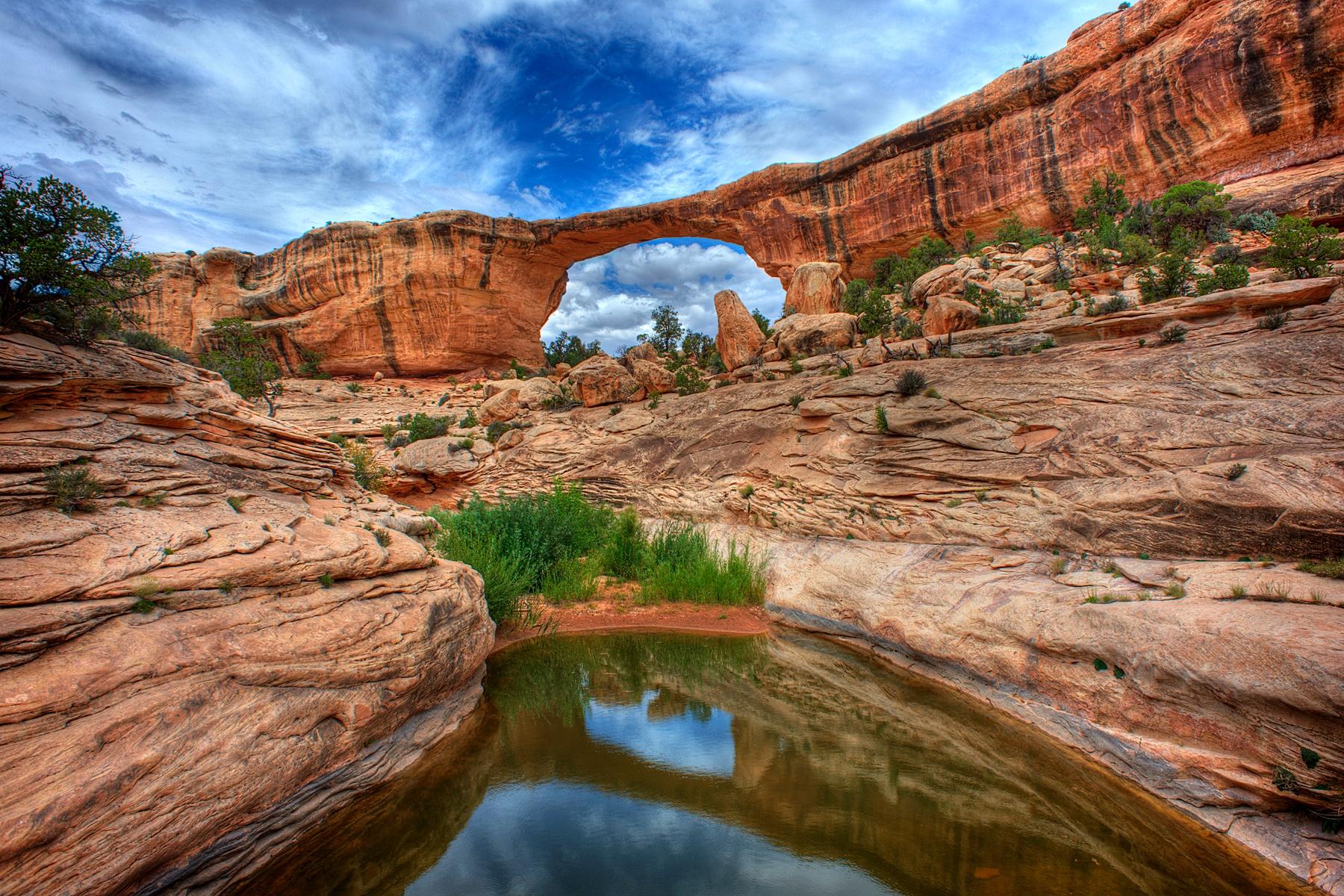
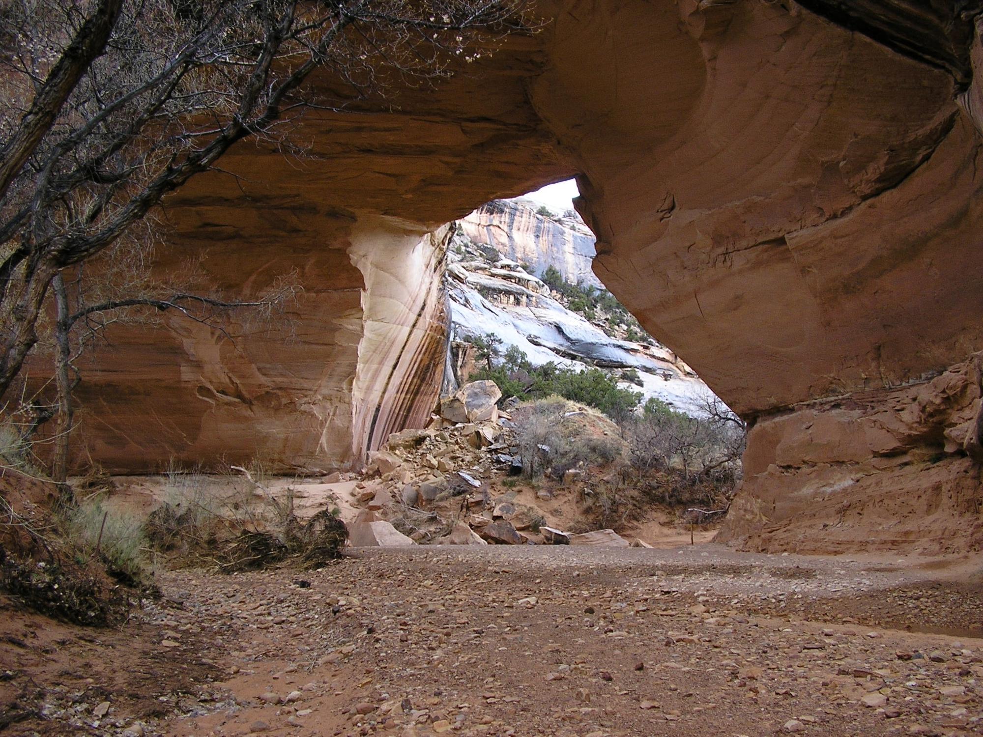
Delicate Owachomo means "rock mound" in Hopi, is the oldest and most slender of the three, spans 180 feet with a height of 106 feet.
The trail to Owachomo Bridge is the shortest and most accessible among the paths leading to the bridges in the park. The walk is roughly 0.4 miles round trip, with minimal elevation change, making it accessible for most visitors.
The bridge is a popular subject for photography, especially during sunrise or sunset when the light casts a warm glow on the sandstone.
One of the park's main draws is its International Dark Sky Park designation by the International Dark-Sky Association. This means that the night skies in the park are relatively free of artificial light pollution, offering visitors a stunning view of the stars, planets, and other celestial objects.
Visit the Natural Bridges National Monument.
The visitor center at this national monument is open year-round and staffed with excellent staff and rangers to help visitors make the most of their visit to Natural Bridges National Monument.
At the Visitor Center, you can find:
Park information: Rangers and staff are available to provide information about the park, its history, and the natural bridges. They can also give details on the trails, safety precautions, and current park alerts or updates.
?Remember: The National Park Service rangers offer guided walks and talks at various times during the year. Be sure to ask at the visitor center for more information.
Educational exhibits: The Visitor Center features exhibits that showcase the area's geology, ecology, and human history.
Park store: The Visitor Center often has a small store operated by a cooperating association, which sells books, maps, educational materials, and souvenirs related to the park.
Restrooms and water: Restroom facilities and drinking water are available at the Visitor Center for visitors' convenience.
Camping area: For those who want to explore the park more, there is also a 13-site campground and picnic area, and a visitor center.
⚠️Tip: The campground has no water, but campers can fetch up to five gallons daily from the visitor center. If you are a day visitor, fill up your water bottles at the visitor's center before venturing out.