Hiking/Backpacking
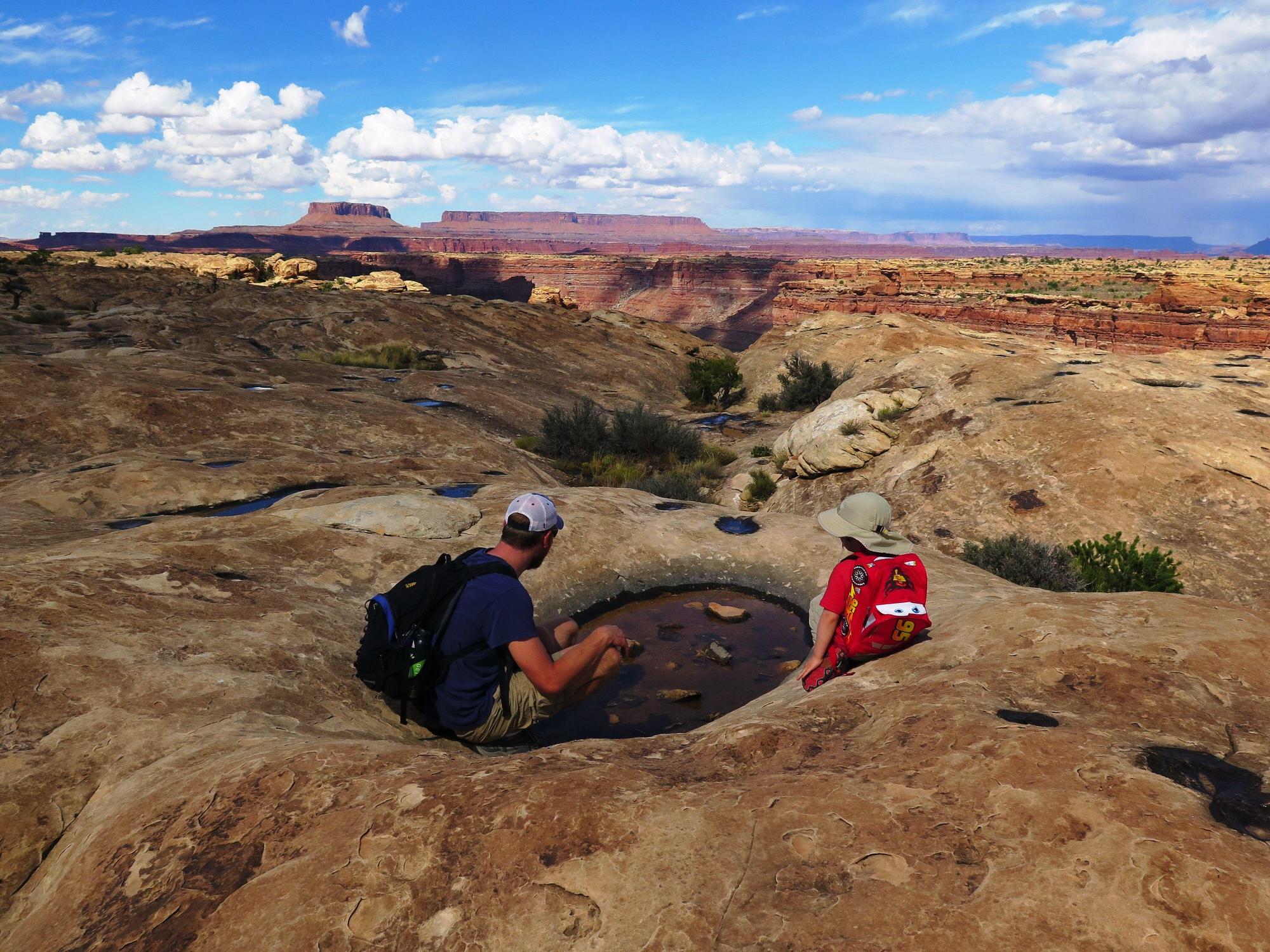
No matter how much time you have, there is an unforgettable hiking experience waiting for you in Utah’s Canyon Country. The ruggedly beautiful region boasts hiking trails that can take hours or days to traverse, and many of them are accessible year-round. All you have to do is settle on a location and start walking.
Popular hikes in the area include the towering needles in Canyonland National Park, the twisting and turning of the San Juan River in Goosenecks State Park of the various species of trees in the Manti La Sal National Forest.
There are also multiple backcountry multi-day hiking experiences that are ideal for seeing the hidden gems throughout the remote areas of the county that the public doesn’t often see. For example, Salt Creek in the Needles District of Canyonlands, Dark Canyon in the Abajo Mountains and Grand Gulch. Some of these areas require a permit to backpack, so call the nearest visitor center for more information.
As you hike, there are opportunities everywhere to find historic rock art and structures form the area of the Ancestral Puebloan people who once lived here about 800 years ago. Experts Estimate there were over 20,000 people living within Utah’s Canyon Country at the time. Today, there are just 15,000, so that showcases how many remnants of this lost civilization can and have been found.
Below is a list of hikes by area and difficulty for your reference.
Canyonlands
Short - 2 miles or less:
- Cave Springs
- Pothole Point
Moderate - 5 miles or less, moderate elevation gain:
- Chelser Park
- Slickrock Trail
Difficult - 6 miles or more:
- Chesler Park/Joint Trail
- Confluence Overlook
- Druid Arch
Natural Bridges
Short - 2 miles or less:
Moderate - 5 miles or less, moderate elevation gain:
- Kachina Bridge Trail
- Sipapu Bridge Trail
Hovenweep
Short - 2 miles or less:
Cedar Mesa
Short - 2 miles or less:
Moderate - 5 miles or less, moderate elevation gain:
Difficult - 6 miles or more:
- Kane Gulch
- Natural Bridges Loop Trail
For more information about attractions with hiking, see our itineraries.